LOUIS Assets

Maps, inventory, maintenance tickets, and reporting — one place instead of five that don't connect.

Enter it once. Find it on the map.

LOUIS Assets is where housing and public works teams keep inventory, inspections, work orders, and reports in one place — with map context included.

Click an asset to see what's known. Track who has the ticket. Pull Council or funder reports from live data. Work, cost, and location stay on the same record so you're not rebuilding the story from three systems.

Request a Demo
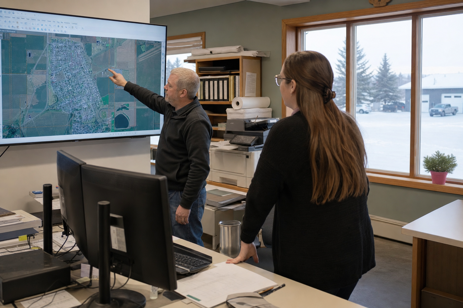

Staff reviewing asset maps and maintenance records in the office

Core capabilities

📋

Asset inventory

Housing units, buildings, linear assets, fleet — with the attributes your team actually uses, at a depth you can maintain.

🔧

Work orders

Create, assign, track, and close maintenance across asset types — including printable assignments when crews aren't on mobile yet.

📱

Inspections

Condition assessments in LOUIS Field with photo documentation — or printable work orders when crews aren't on phones yet.

🗺️

LOUIS Spatial

Map context built in — or connect to your ESRI Enterprise stack; assets and records stay linked either way.

💰

Financial data integration

Connect maintenance costs, rent, and capital project data to your general ledger where integrations are available — a timesaver for operations, not extra work for finance.

📈

Reporting

CMHC, ISC, Council, and grant-ready exports from live data.

Connect to finance — don't replace it

LOUIS owns the asset-management job: inventory, inspections, work orders, condition, and the reports Council and funders ask for. Your general ledger stays authoritative for accounting.

Where connectors are available, financial data flows between systems — work order costs, rent captured at the department that sees it first, capital project spend tied to the assets they support. Your finance system stays in place as the authority.

Staff connecting operational records with finance workflows
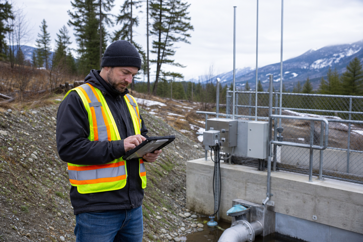
Public works crew recording an infrastructure inspection in the field

Your GIS — in LOUIS or connected

Every LOUIS Assets bundle includes LOUIS Spatial — web GIS plus LOUIS Field for inventory, inspections, and field collection. For many organizations, that is the map stack.

Day-to-day work is organized how people think — a road stretch, a facility, a housing unit — with the map as spatial context. If you already run an ESRI environment, LOUIS can connect to your ArcGIS services and layers alongside those operations — your existing GIS stays in place.

Either way, map location, work history, condition, and financial references stay tied to the same record.

Who uses LOUIS Assets

Indigenous Housing

Portfolio, tickets, and funder reports — with data sovereignty and OCAP®-aligned access controls.

Learn more →

Indigenous Infrastructure

Water, roads, buildings, fleet — public works with E-ACRS-aligned condition reporting.

Learn more →

Small towns & rural municipalities

Civic assets and Council evidence at a scale your team can run.

Learn more →

See LOUIS Assets for your community

Request a demo — we'll walk through housing and infrastructure with realistic examples. Training will be delivered using your data.