Small Towns & Rural Municipalities

One system for maps, assets, and work orders — instead of multiple programs that don't work well together.

Two scales, same frustration

Compact town teams and large rural counties both deal with asset data spread across spreadsheets, consultants, and software that doesn't connect. Council still asks the same questions.

Small towns

Generalist crews covering roads, facilities, water, and fleet — with limited IT support and provincial reporting expectations.

Rural municipalities

Long linear networks, seasonal inspection load, and documentation pressure after weather events or grant deadlines.

What changes with one system

  • Enter it once — asset location, condition, and work history in one register

  • Click the map — find the culvert, the arena, the lift station; open its maintenance record

  • Answer leadership fast — pull up an asset and the related work when Council or the CAO asks

  • Track tickets — transparency for your crew and defensible answers for Council

  • Right level of detail — define assets and maintenance at a depth your team can run, not every part a consultant can list

  • Pull the report — grant and Council packs from live data, not static consultant PDFs

  • Finance data connected — work, cost, and map on the same asset where integrations are available
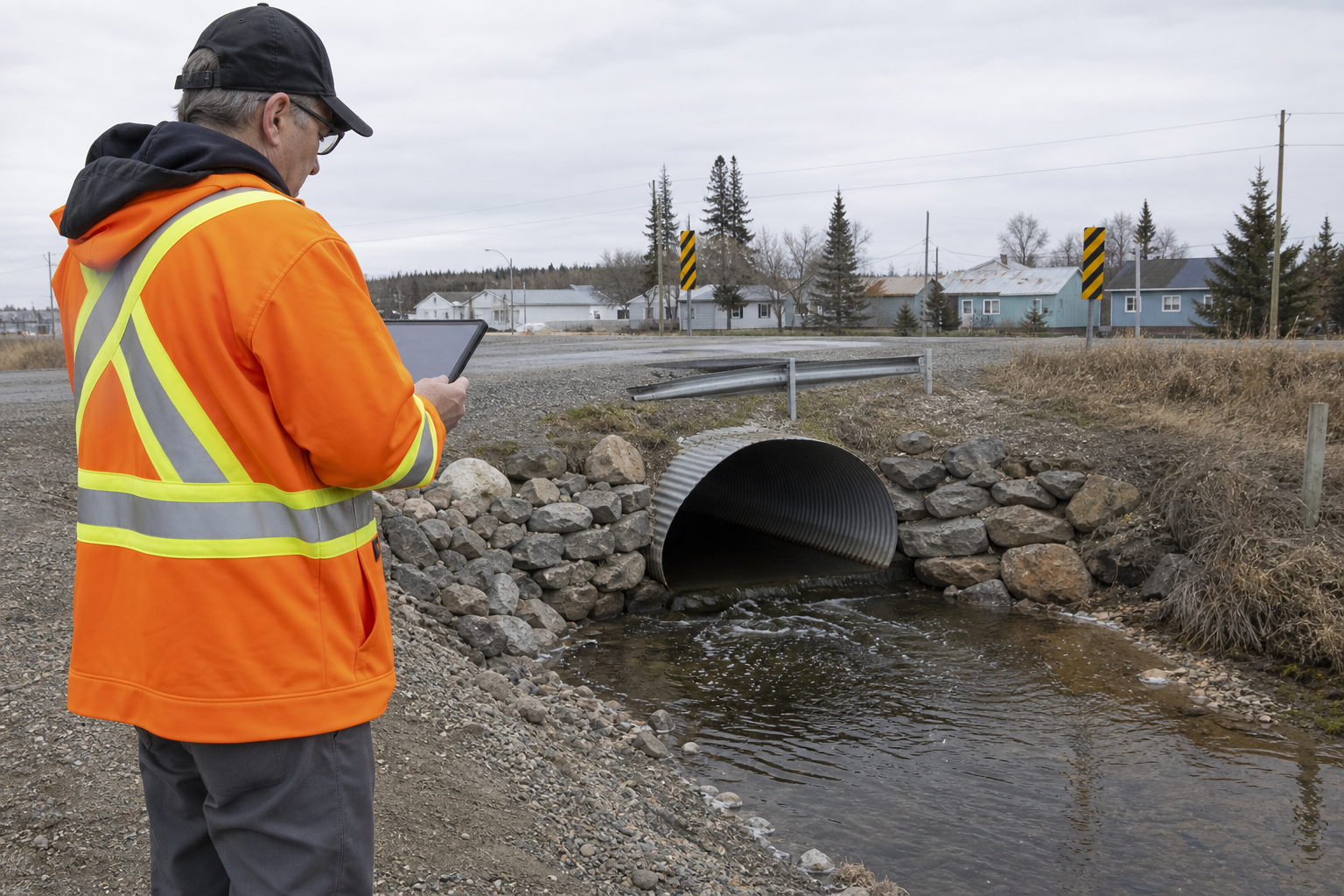
Municipal public works staff documenting infrastructure in the field

A living register your team keeps current

Built for small and mid-sized municipalities that need maps, work, and cost in one place their teams actually keep current.

Keep the register alive

LOUIS stays current as crews update condition and tickets — so Asset Management Plan and Council evidence stay grounded in day-to-day operations.

How people think and work

Organize roads and facilities the way crews and Corporate talk about them — a stretch, a bridge, a building — and keep the GIS linework as spatial reference. Connect to your ESRI map where you already run one.

Work, cost, and map together

Click the asset — see maintenance history and linked spend in one place. Your general ledger stays authoritative; LOUIS connects operational costs where integrations are available.

Straightforward and explainable

People decide; the tool shows the tradeoffs. In a demo, we walk through what you can use today.

Asset classes we support

Water & sewer

Treatment, distribution, and maintenance history.

Roads & bridges

Linear assets with inspection records that stay current.

Buildings & facilities

Arenas, libraries, offices — condition and backlog visible.

Parks & recreation

Trails, playgrounds, and community assets in the same system.

Fleet & equipment

Work orders and schedules for vehicles and heavy equipment.

Council reporting

Evidence packs for Council, auditors, and provincial cycles.

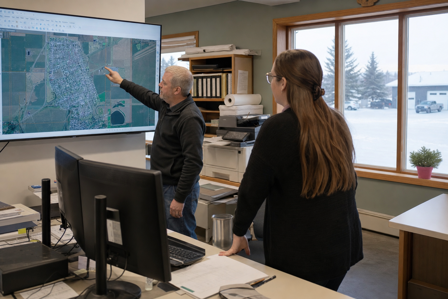
Municipal staff reviewing civic asset maps in a town office

Office and field in the same register

Field crews update condition and tickets where the work happens. Back in the office, the same records feed Council packs, grant evidence, and capital conversations — without rebuilding spreadsheets before every meeting.

If crews aren't on phones yet, print the work order, get the job done, and bring it back into the system — then move to mobile when you're ready.

Right-sized — built for teams like yours

Fit for your capacity

Built for organizations that need a living ops register their team can run day-to-day — without a multi-year enterprise program. In discovery, we work with you to make sure LOUIS fits how you work.

Keep what already works

Connect to your GIS and finance systems where they exist. LOUIS handles the asset-management job in scope — your general ledger stays the system of record.

Training on your real assets

Implementation and support with clear communication — we train on your roads, your facilities, your workflows.

References

Our client list is privileged information. Municipal references for assets and public works are available on request.

See LOUIS for your municipality

Request a demo — we'll walk through civic assets, maps, and Council reporting with realistic examples. Training will be delivered using your data.