Traceable consultation. Community-managed traditional knowledge. Community data sovereignty aligned with OCAP® principles.
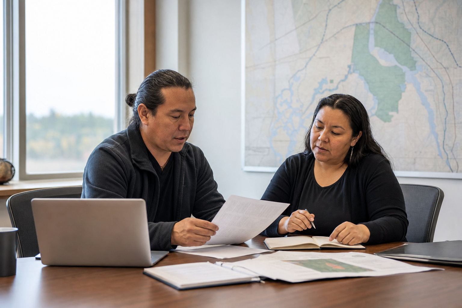
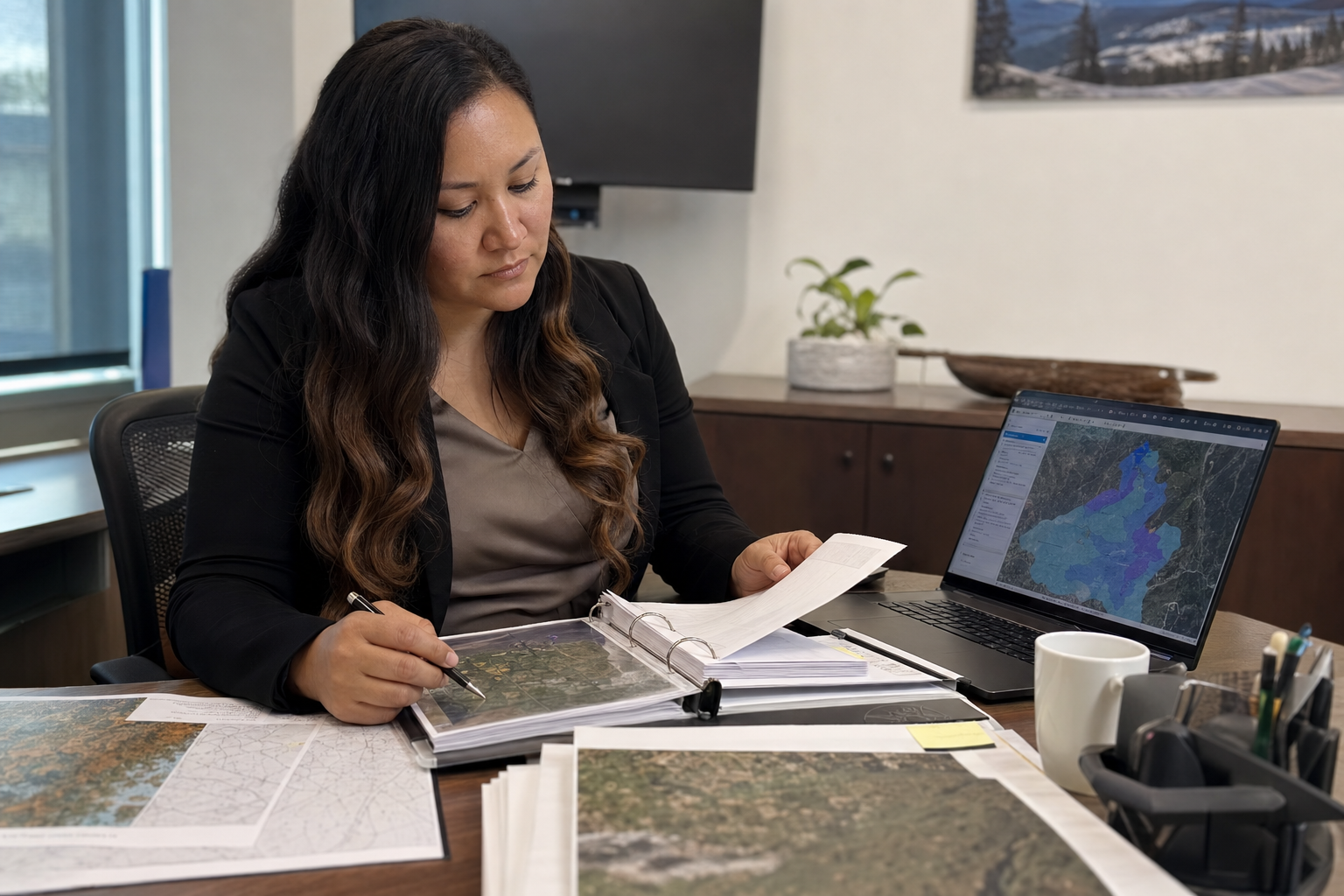
When a referral lands, your team needs the deadline, the spatial context, and what your community already knows about that place — without digging through email, shared drives, and binders.
LOUIS Lands keeps consultation workflow, traditional land use archive, and map layers in one place under your community's governance — with access controls aligned to OCAP® principles.
Intake, deadlines, development review, and response tracking — with a traceable record Council and leadership can defend.
Planner →Map-based interviews and multimedia archive for traditional use sites and ecological knowledge under your access rules.
Heritage →Referrals and traditional use areas on the map — with connections to external GIS layers where your community already uses them.
Spatial →
See traditional use sites in context when a new referral arrives
Draw on documented knowledge when assessing impacts
Track consultation costs and revenue alongside referral records
Maintain export and access policies leadership can defend
Community ownership of traditional knowledge, consultation records, and spatial layers — an archive you control, with clear export and access rules.
LOUIS supports Indigenous information governance. For First Nations, that includes OCAP® — Ownership, Control, Access, and Possession — with role-based permissions leadership can defend.
Heritage, consultation workflow, and spatial layers in one bundle — not separate silos that never connect.
Built for the consultation environment Indigenous communities operate in — traceable referrals and defensible records.
We discuss custody, subprocessors, and export requirements early — with our Canadian team.
Request a demo — we'll walk through referrals, traditional knowledge, or heritage with realistic examples. Training will be delivered using your data.