LOUIS Spatial

Shared map capability across LOUIS Assets and LOUIS Lands — web GIS, plus LOUIS Field for mobile collection where the work happens.

The map in every LOUIS bundle

LOUIS Spatial is included in every bundle — not sold separately. Assets appear on the map; lands sites and referrals have spatial context; crews and lands staff collect and update records in the field with LOUIS Field, the iOS and Android app that works with Assets and Lands — not only map layers.

Works alongside GIS platforms your organization may already use — and can connect to external map services where you need them.

Request a Demo
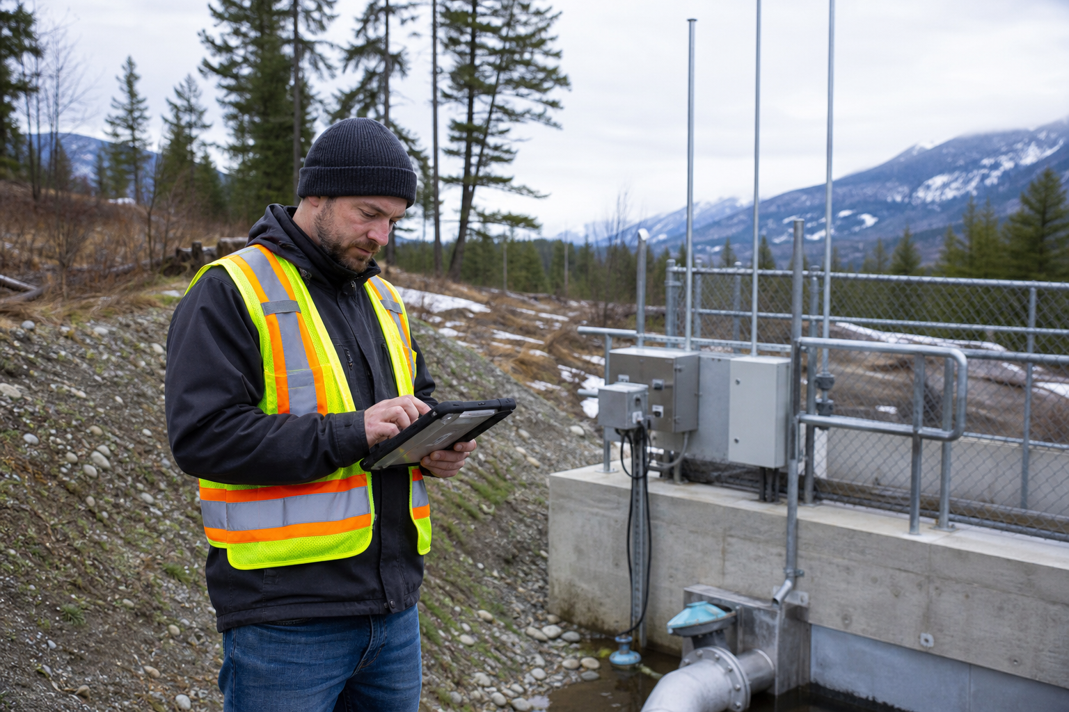
Public works crew collecting field data with a mobile app

Key Features

🌐

Web Mapping

Interactive maps accessible from any modern web browser, no software installation required.

📱

LOUIS Field

Native iOS and Android app for collecting and updating records where the work happens — inspections, tickets, sites, and photos.

📴

Offline Capability

Download areas in LOUIS Field for offline use and collect data without network connectivity.

📍

GPS Integration

Capture precise locations and record GPS tracks during field work.

📷

Photo Capture

Take geotagged photos and attach them directly to map features.

🔄

Sync & Share

Data syncs automatically when connectivity is restored, keeping everyone up to date.

External map services

Your map is stronger when it can draw on layers and services outside LOUIS — without forcing everything into one silo.

  • OGC and ESRI REST services — connect map layers from OGC and ArcGIS REST endpoints

  • External base maps — use organization-approved basemaps alongside your data

  • SyncroSim® — where useful, connect landscape simulation models for scenario context alongside your spatial data

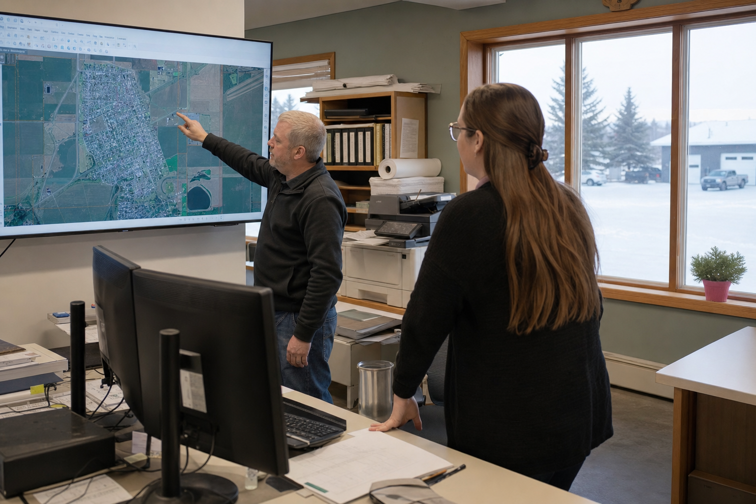
GIS layers and base maps reviewed in a civic office

Across Assets and Lands

One spatial layer connecting both offerings.

With LOUIS Heritage

Conduct map-based interviews and document traditional use sites with precise spatial information.

With LOUIS Planner

Visualize consultation referrals on maps, analyze spatial overlaps with traditional use areas, and capture site visits in LOUIS Field.

With LOUIS Assets

View housing and infrastructure on maps and run inspections from LOUIS Field with location tracking and photos.

See LOUIS Spatial for your maps

Request a demo — we'll walk through web maps and LOUIS Field with realistic examples. Training will be delivered using your data.