LOUIS Lands

Consultation workflow, heritage archive, and map-based records for Indigenous lands departments.

Referrals, reviews, and knowledge on the map

LOUIS Lands (Planner + Heritage + Finance + Spatial) keeps proposed developments, consultation files, and spatial context in one place your team can find and defend.

Most organizations start with Planner for intake, deadlines, and a traceable record — including site visits captured with LOUIS Field on mobile. Heritage adds traditional land use and knowledge archive where that work is part of the job.
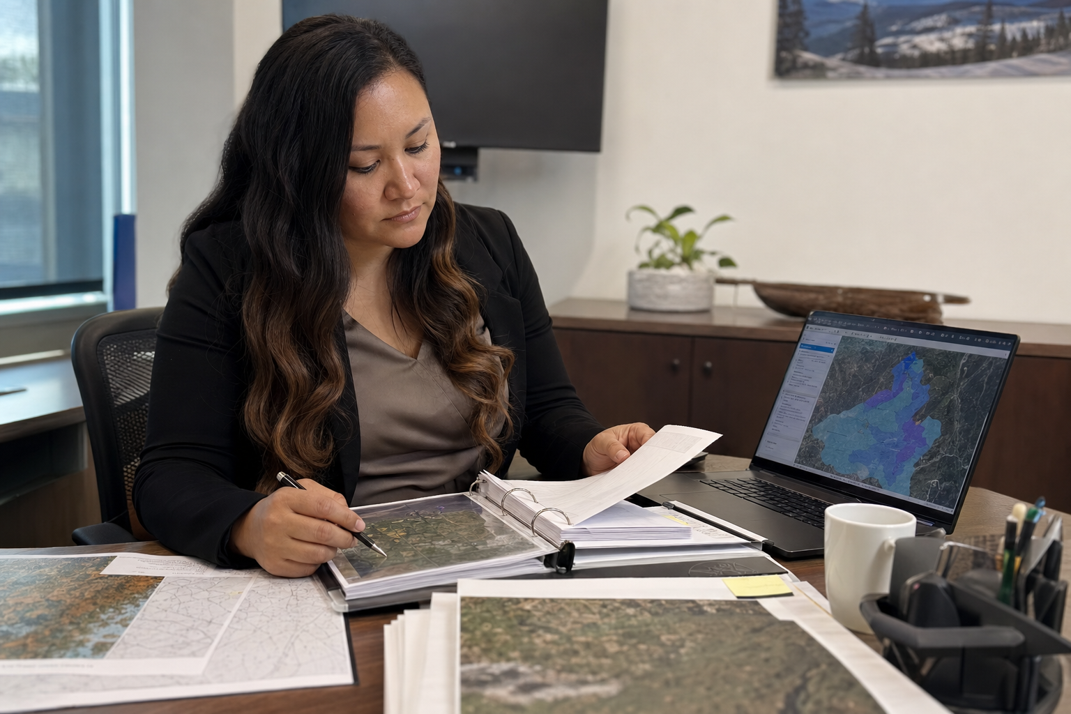
Lands department staff reviewing consultation files and map layers

Core capabilities

Planner, Heritage, and Spatial work together in LOUIS Lands — consultation workflow, traditional knowledge, and mapping in one system.

Referral intake & deadlines

Log consultation referrals from government and industry in one place — with response deadlines, status tracking, and a traceable timeline from intake through record.

Impact & cumulative effects

Assess proposed developments against documented traditional use sites and cultural areas — including cumulative effects — using spatial context and knowledge in the same system.

Consultation costs & fee recovery

Track staff time, program expenses, and fee recovery alongside referrals — without a separate spreadsheet. Finance tools connect where configured; your general ledger stays authoritative.

Map-based interviews & traditional use

Capture traditional land use, ecological knowledge, and cultural sites with spatial precision — in-person interviews linked directly to the map your lands team works from.

Knowledge archive & data sovereignty

Store interviews, documents, photos, and recordings in a community-controlled archive — with access rules aligned to OCAP® (Ownership, Control, Access, and Possession) principles.

Web maps & LOUIS Field

Interactive web mapping for referrals and review areas, plus native iOS and Android field collection — GPS, geotagged photos, offline areas, and sync when connectivity returns.

In LOUIS Lands

📋

Planner

Referral intake, development review, deadlines, response tracking, site visits in LOUIS Field, and expense and revenue tied to case files.

Planner →
📚

Heritage

Map-based interviews and archive for traditional land use — primarily for Indigenous consultation and TLU work.

Heritage →

Included in every bundle

Spatial

Web and mobile GIS — referrals and review areas on the map, with connections to external layers where configured.

Spatial →

Finance

Expense and revenue tracking connected to your workflow — and to your general ledger where integrations are available.

Finance →

Your data. Your control.

Consultation records, traditional knowledge, and map layers belong to your community. LOUIS is built so you retain ownership and control — including OCAP® principles — with data hosted in Canada. See also our Indigenous Lands page.

See LOUIS Lands for your workflow

Request a demo — we'll walk through consultation, development review, or heritage with realistic examples. Training will be delivered using your data.