LOUIS Assets
Assets + Finance + Spatial
For Indigenous communities and municipalities managing housing and civic infrastructure:
- ✓
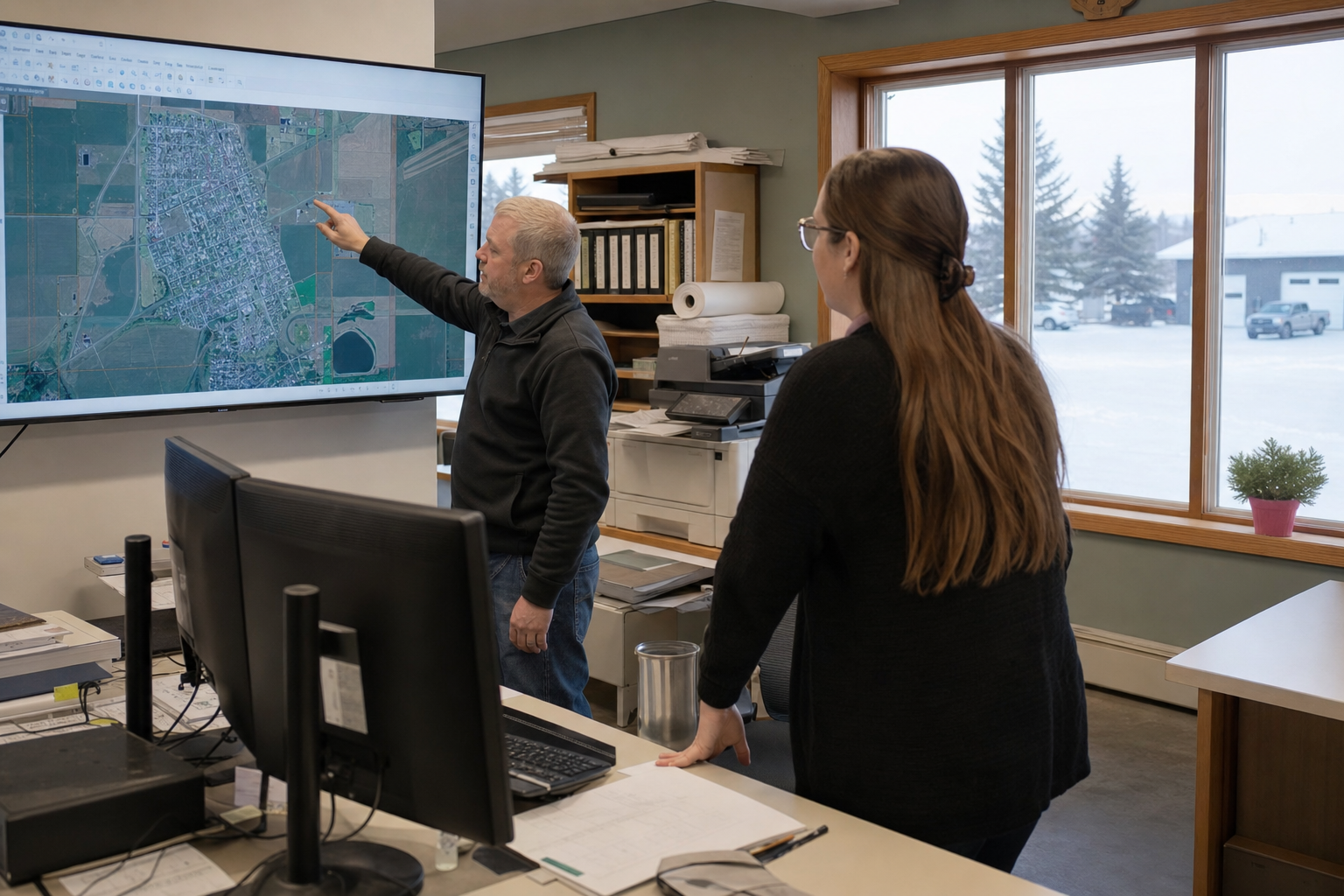
Click the asset on the map — open inspections, tickets, and history
- ✓
Enter information once — find it for Council, CMHC, ISC, or grant reporting
- ✓
Track maintenance with transparency — know who has the ticket
- ✓
Connect financial data to your accounting where available — operational costs without re-keying between systems
- ✓
Start with one department, expand when the team is ready
LOUIS Lands
Planner + Heritage + Finance + Spatial
For Indigenous lands and consultation departments:
- ✓
Referral tracking and development review workflow (Planner)
- ✓
Traditional land use and heritage archive where that work applies (Heritage — Indigenous communities)
- ✓
Map-based records with expense and revenue tracking — connect to your accounting where available