Part of LOUIS Lands — map-based interviews and archive for traditional land use and community knowledge, under your community's governance and OCAP® principles.
LOUIS Heritage supports in-person, map-based interviews — capturing traditional land use, ecological knowledge, and cultural sites with spatial precision.
Records stay in an archive your community controls, ready for education, environmental programs, and consultation when paired with LOUIS Planner.
Request a Demo
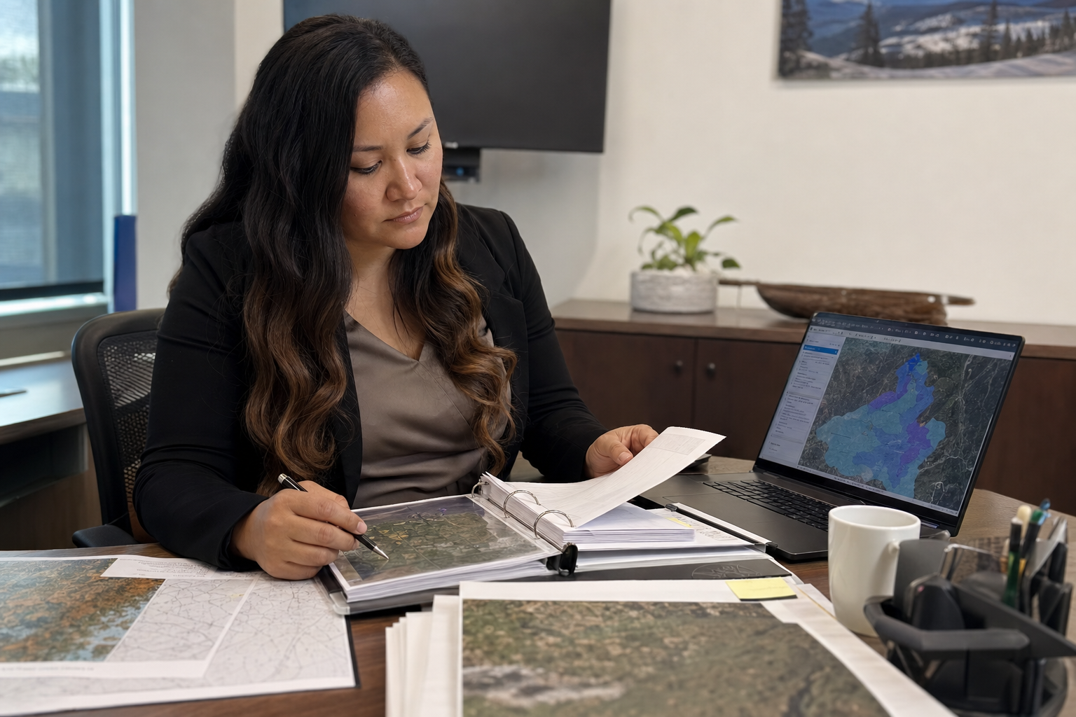
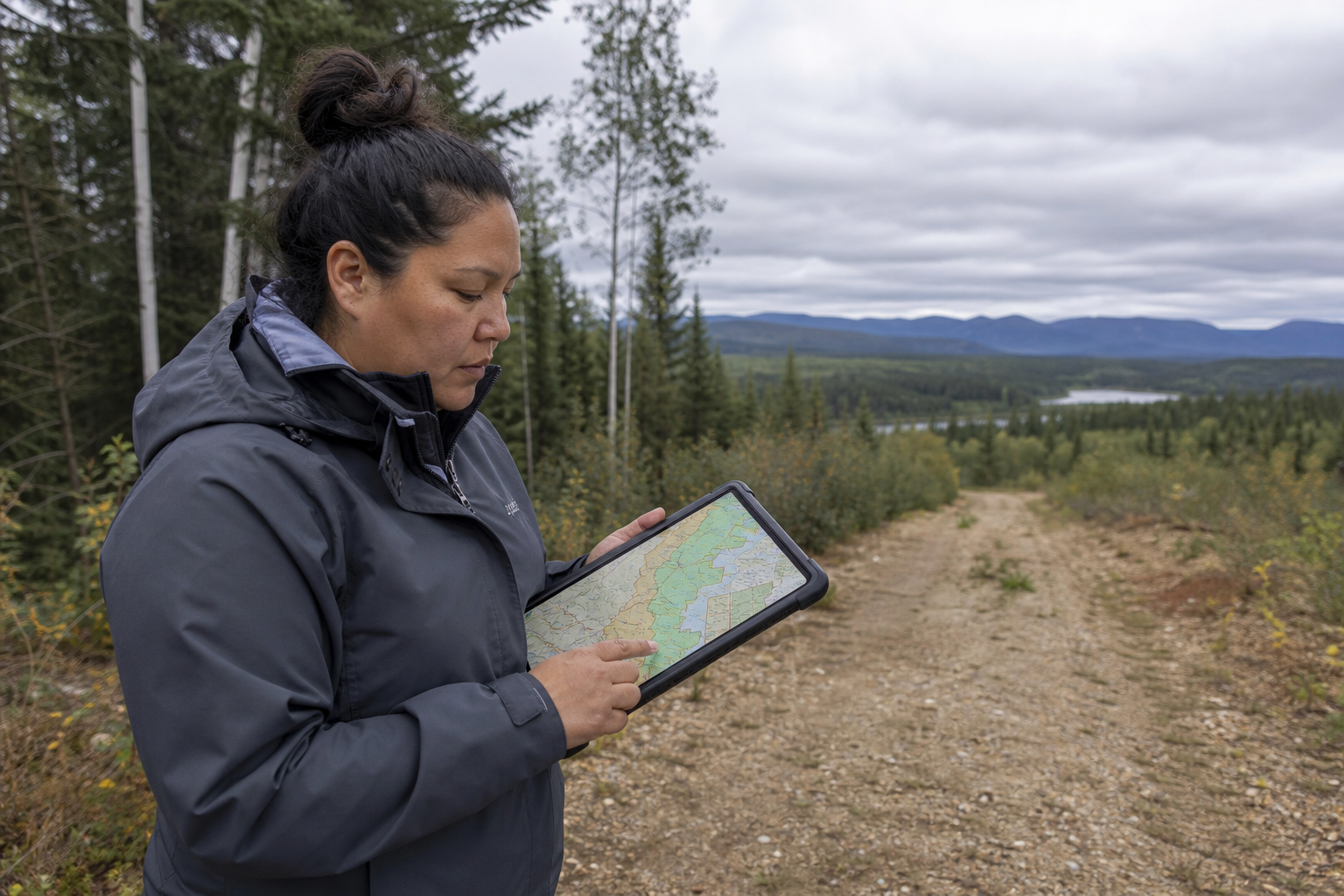
Conduct in-person interviews with elders and knowledge holders, capturing spatial information directly on maps.
Document hunting, fishing, gathering, and cultural sites with precise locations and detailed attributes.
Store and organize audio recordings, video interviews, photographs, and documents in one secure location.
Document traditional ecological knowledge about plants, animals, and their habitats.
Find information quickly with powerful search across all documents, interviews, and records.
Your community maintains ownership and control over traditional knowledge — with access rules aligned to OCAP® (Ownership, Control, Access, and Possession) principles.
Heritage and Planner together form the LOUIS Lands bundle for Indigenous lands departments.
Use documented traditional use sites to assess consultation referrals
Analyze potential impacts of proposed developments
Generate evidence-based responses to referrals
Request a demo — we'll walk through map-based interviews and knowledge archive with realistic examples. Training will be delivered using your data.